Filter by Depth
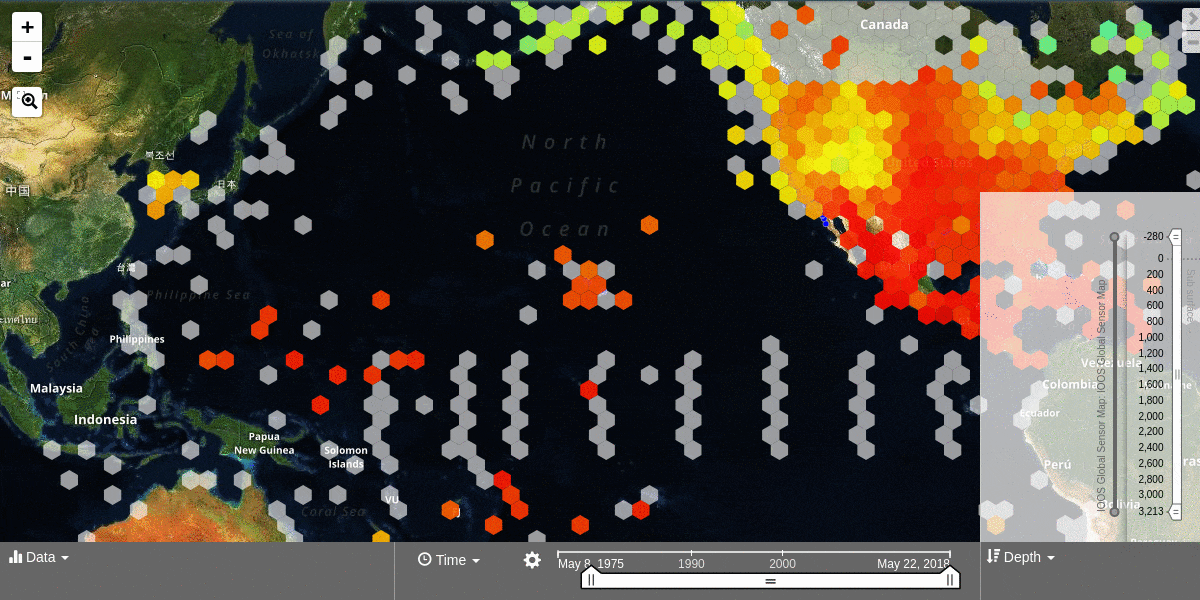
Click on the depth icon in the bottom right of the map.
Click and drag both ends of the depth slider control to adjust the vertical bounds. Note that the depth values represent meters beneath the water surface.
Click and drag the middle of the depth slider control bar to step through the vertical data.
Hover your mouse over the depth slider bar to see the vertical range of the data that has been selected.
For more information, please see the Depth Filter section.