Create Custom Map
Create New Map
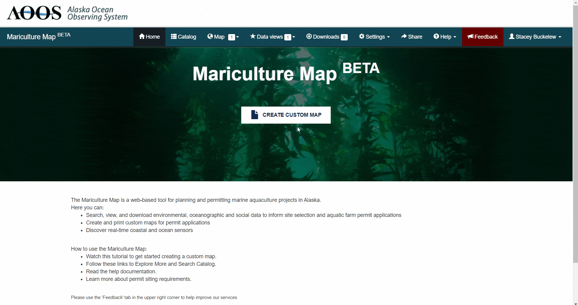
Once logged into your account, use the Create Custom Map button to create the General Location, Detailed Location, and Site Plan maps for your permit application.
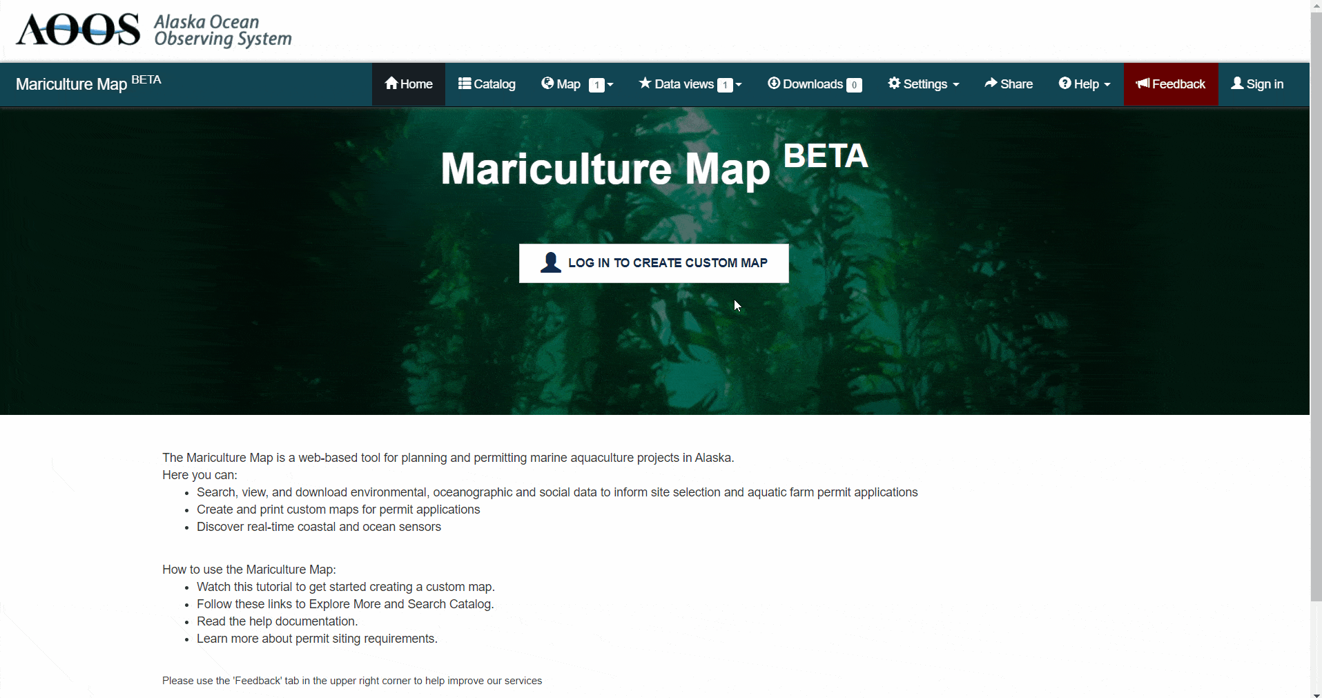
From the home page, log into your account and then click the ‘Create custom map’ button.
Enter the bounding coordinates for your site in decimal degrees (using positive east) as: Northwest Latitude, Northwest Longitude, Southeast Latitude, and Southeast Longitude. This will draw the farm site on the map. Or, you can skip this step and use the drawing tools within the map to approximate your farm site (refer to Option 2 below).
Enter farm site description information to appear in the map legend box. Note: the description text can be edited before printing the map. The legend box should include:
Figure No and Map Type (General location, Detailed location, Site plan)
Applicant Name (Business Name)
Waterbody
Area/Region
Today’s Date
For Example:
Figure 1 Detailed Location Map
Alaska’s Best Oysters
Jerryton Bay
East of Prince of Wales Island, Southeast AK
December 18, 2020
Click “Save and print or view maps” button.
For each of the map types listed, you can click “Load map” to be redirected to the main map for further customization. Or, you can click “Download Map” to download as a pdf.
Refer to the Default Data Layer section for more about the default data layers that are added to each of the map types (i.e. General Location, Detailed Location, Site Plan).
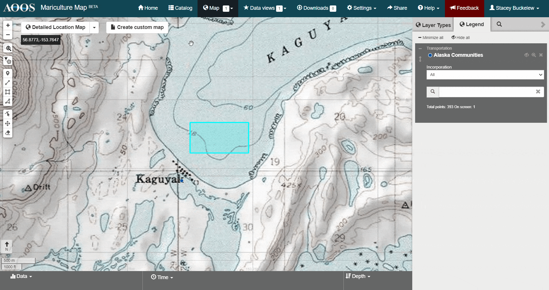
In the main map, you can now add or remove data layers, draw additional shapes, or print your map.
When you are finished with your session, you can log out or exit the browser. Your map contents will be saved automatically for later use.
Save Map
To save your map for later use, sign in to your account.
When you are finished with your session, you can log out or exit the browser. Your map contents will be saved automatically to your account for later use.
Edit Saved Map
To edit a saved map, sign in to your account.
Click “Create Custom Map” and edit the narrative. Or, click “Save and Print or View Maps” to be navigated to the main map.
Refer to the following sections to make changes to your map: add or remove data layers, edit shapes.

Share Map
To share a saved map, sign in to your account.
Select the map you want to edit from the list.
Click the ‘Share’ button.
A custom URL will display. Copy the link to share with others.
Print Map
Click the ‘Create custom map’ button.
Click “Save and Print or View Maps” and then click “Download map” next to the map you want to print.
A pdf file will download in your web browser. Please note, it may take 1-2 minutes to generate the pdf file.
If you need to make changes to your map after downloading, refer to Edit Saved Map to edit the map narrative or to Draw Tools to change map labels.